

 Zaloguj się, by zobaczyć współrzędne.
 0x znaleziona
  0x nieznaleziona
  0 komentarze
  0 obserwatorów
  Oceniona jako: b.d.


aby zobaczyć współrzędne oraz
mapę lokalizacji skrzynki
 Opis
EN
Opis
EN
This cache is a small LnL on the summit of the 3107 meter Mount Lougheed. The easiest route is about 15 km round trip with an elevation gain of 1400 meters.
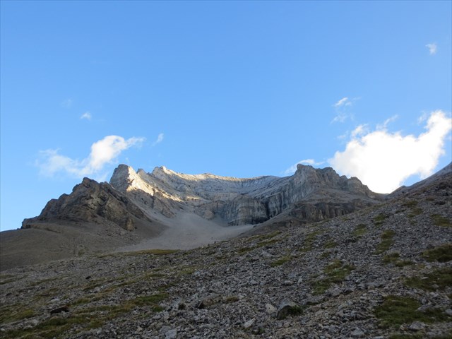
There are two main ascent routes to the summit of Mount Lougheed. There is an easier easy-moderate scramble route up the South face, and a much more difficult route described by Andrew Nugara's "More Scrambles in the Canadian Rockies" from Mount Lougheed Peak 1. The difficult route is a technical climb requiring climbing gear.
If you plan on doing the moderate scramble route rather than the technical climb, park near the trailhead coordinates. These coordinates are for the beginning of a trail that leads to Mount Lougheed. Be sure to bring a GPX route to ensure that you don't get lost (Bob Spirko has posted one on his website; also if you email me I can provide my route).
This hike has loose rock, some exposure, cliff bands and routefinding so be prepared!
Good luck, and enjoy the view!!
 Wpisy do logu:
0x
0x
0x
Wpisy do logu:
0x
0x
0x


