 Please log in to see the coordinates.
 Cache attributes


 Description
EN

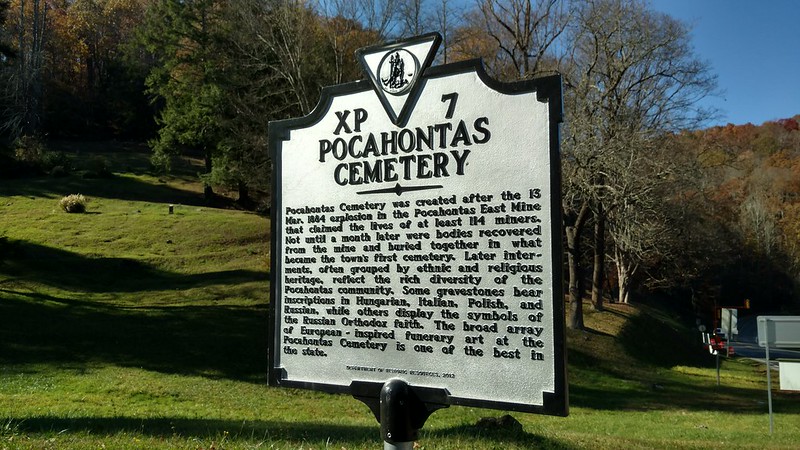
Pocahontas Cemetery
Marker text:
Pocahontas Cemetery was created after the 13 Mar. 1884 explosion in the Pocahontas East Mine that claimed the lives of at least 114 miners. Not until a month later were bodies recovered from the mine and buried together in what became the town’s first cemetery. Later interments, often grouped by ethnic and religious heritage, reflect the rich diversity of the Pocahontas community. Some gravestones bear inscriptions in Hungarian, Italian, Polish, and Russian, while others display the symbols of the Russian Orthodox faith. The broad array of European-inspired funerary art at the Pocahontas Cemetery is one of the best in the state.
Department of Historic Resources, 2012.
Marker Number: XP-7
Marker Title: Pocahontas Cemetery
Marker Location: Along State Route 102 at Pocahontas Cemetery.
Independent City: Pocahontas.
Marker Program Sponsor: Virginia Department of Historic Resources.
The Pocahontas Historic District, which is the corporate boundaries of Pocahontas including the cemetery was added to the National Register of Historic Places in 1972.
Now about the geocache placement.
I came here to ride my Mule on the Spearhead OHV Trail Systems Original Pocahontas, but had more fun just riding my ATV around this historic coal town. This old historic cemetery is something to see, most of the graves are on steep hillsides and one large group appears to be the Russian section there at the end of the roundabout.
I thought this place was interesting enough that it needed a geocache detaling it's history.
The geocache is not inside of the cemetery, but across the road at the pull over near the Virginia Historical Markers.
Look for a 3x4 flat rock that looks out of place, cache is a camo MKH with log.
 Log entries:
 0x
0x
 0x
0x
 0x
0x


 Rated as: n/a


